
What satellites miss: ground-truthing Kenya’s rangelands.
Results from paired dry- and wet-season field campaigns in Kajiado, Kilifi and Kwale, and what they mean for rangeland monitoring and nature finance.
 By Moffatt Kang’iri Ngugi, PhD·13 November 2026·7 min read
Satellites have made it possible to watch Africa's rangelands at scale. But a satellite product is only as good as its last check against the ground. In 2026 we went back to the same plots in two seasons to find out how much a Kenyan rangeland really changes, and what a satellite would need to capture it.
Why ground-truthing matters
Rangelands cover most of Kenya and carry much of its livestock economy and wildlife. Increasingly they are also the basis for finance: soil carbon projects, grazing-management programmes and natural capital accounts all lean on remote-sensing estimates of vegetation cover and condition.
Those estimates can drift. Cloud, mixed pixels, shrubs that look like grass from above, and grass that greens and browns within weeks all introduce error. If an investor or a ministry is paying for change, someone has to confirm that the change is real.
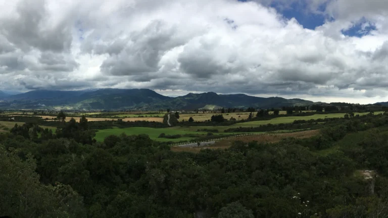
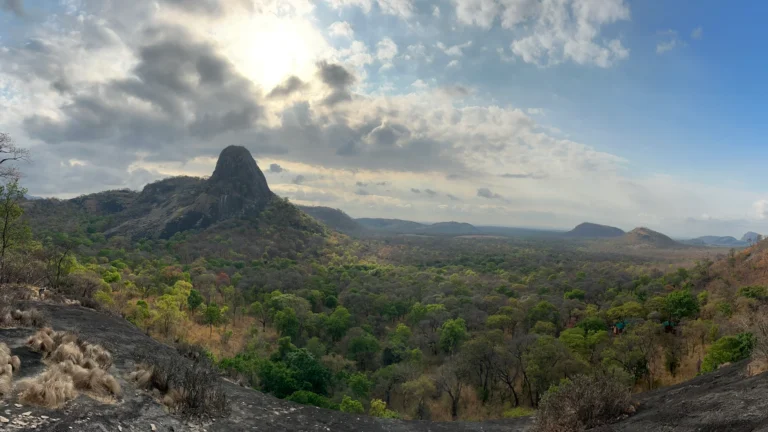
What a pixel sees, and what a plot sees
A satellite pixel averages everything inside it. A field plot records what is actually there.
What we measured
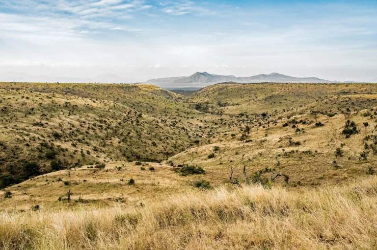
Zingira Pesa served as Lead Scientist on rangeland vegetation validation research for the US Army Corps of Engineers' Engineer Research and Development Center (ERDC-CERL), working with BizSolutions360 and Charles & Barker. Field teams worked across three counties with very different rangelands: Kajiado in the southern rift, and Kilifi and Kwale on the coast.
What changed between seasons
The headline is how fast these landscapes respond to rain. On the same plots, live vegetation cover rose from 47.7% to 77.8%, grass cover roughly doubled from 23.4% to 46.1%, and bare ground fell from 37.1% to 21.9%.
Same plots, two seasons
Mean ground cover across 12 permanent plots in Kajiado, Kilifi and Kwale, from 360 paired observations.
The headline is how fast these landscapes respond to rain.
What this means for monitoring and finance
- Timing is everything. A single image can make the same rangeland look degraded or healthy depending on the month. Baselines and monitoring must be season-matched.
- Permanent plots pay for themselves. Re-measuring the same ground removes most of the noise that makes change hard to prove.
- Validation is a finance tool. For carbon, biodiversity or results-based payments, field-validated data is what turns a satellite estimate into evidence a buyer will accept.
Bare ground is a balance-sheet loss. Recovered cover is a measurable gain.Zingira Pesa
Where this fits in natural capital accounting
In a natural capital account, plots like these feed the condition account: the record of how healthy each ecosystem is, compared with a reference. They also give rangeland owners, from group ranches to conservancies, the evidence they need to show improvement over time.
Read the full project summary on our projects page, or see how the same thinking applies to mapping the key resource areas that herds and wildlife depend on in the dry season.
Frequently asked questions
What is ground-truthing in remote sensing?
Ground-truthing is the collection of field observations at known locations to check, calibrate or validate what satellite or aerial imagery shows.
How much did vegetation cover change between seasons?
On 12 permanent plots, live cover rose from 47.7% to 77.8%, grass cover from 23.4% to 46.1%, and bare ground fell from 37.1% to 21.9% between the March dry season and the May–June wet season of 2026.
Why does seasonality matter for carbon and rangeland projects?
Because cover can change by around 30 percentage points within weeks. Baselines and monitoring that are not season-matched can show false gains or losses.
Founder and CEO of Zingira Pesa. Ecologist, former USAID Environment Diplomat in Mozambique and NASA Earth System Science Fellow, with 16 years of public service across 32+ countries. More about Moffatt · LinkedIn
- Kenya Rangeland Validation, US Army Corps of Engineers Engineer Research and Development Center (ERDC-CERL), 2026. Zingira Pesa Ltd as Lead Scientist.
- Zingira Pesa, Selected projects.
Need field-validated data for your landscape?
We design monitoring plots, run field campaigns and validate satellite products for MRV, carbon and natural capital accounts.